Places to start
Each card opens the 3D map from the same viewpoint and at the same time of day as the picture. Haneda opens at the current time, with the planes flying right now.
 Opens at 11:00Tokyo StationThe red-brick station and the Marunouchi towers
 Opens at 13:00Shibuya CrossingThe crossing and the new towers around the station
 Opens at 19:30ShinjukuThe skyscrapers of West Shinjuku at night
 Opens at 13:00Asakusa & SkytreeFrom Senso-ji across the Sumida River to the Skytree
 LiveHaneda AirportPlanes shown where they really are (live)
 Opens at 15:00Odaiba & Rainbow BridgeThe city skyline from the waterfront
 Opens at 16:40Tokyo TowerTokyo Tower and Shiba Park just before sunset
 Opens at 10:00Mount TakaoThe mountains of western Tokyo, true to the terrain
What you can do in TOKYO 3D DIORAMA
Each card opens the 3D map at a place and time that shows the feature. The line with the finger icon tells you where to find it (on smartphones, the side bar buttons sit along the bottom).
- Ride trains, buses and planesTrains and water buses run to the timetable; buses and planes move live. Hop on and watch the city go by.Tap a moving vehicle, then "Ride this train" etc.
- Change the time of daySwitch between day, dusk and night. After dark, windows, street lights and cars light up."Time" in the side bar
- Time-lapseFast-forward the clock and watch the sun go down and the lights come on."Play" in the time panel
- Change the weather and seasonSun, cloud, rain or snow, plus cherry blossom in spring and golden ginkgo in autumn. "Live weather" follows the real sky."Change weather" and the seasons in the time panel
 Walk at street levelStep down into the street and walk among the buildings with the keyboard or by dragging.Tap the map, then "Walk from here"
 Flood, earthquake and accident mapsOverlay flood, storm-surge and earthquake scenarios, traffic accidents and flood-prone underpasses on the city."Safety" in the side bar
 Bear sightingsAbout 1,000 Asian black bear sightings and traces published by Tokyo, shown as bear icons in the mountains. Tap one for recent records."Asian black bear sightings" under "Safety"
 Earthquake risk by areaColour each neighborhood by the Tokyo survey's 5-level risk of building collapse and fire."Earthquake risk by area" under "Safety"
 Reported crimeSee police counts by neighborhood: all crimes, burglary, bicycle theft, violent crime and vehicle theft."Reported crimes" under "Safety"
 Water points and sheltersFind water supply points for disasters and Tokyo-run temporary shelters for people unable to get home."Water supply points and temporary shelters" under "Safety"
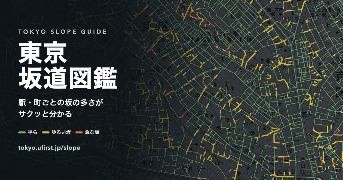
 Colour the land by slopeShade the ground by gradient to find hills, cliffs and the edges of the plateau. Steps and colours are adjustable."Slope" under "Layers" in the side bar
 Search and fly thereType a landmark, station or address and the map flies there. Works in English or Japanese.The search box, top left
 In English and JapaneseThe interface, place names and station names all switch to English. Switch any time in Settings.Language: first item in "Settings" ("More" on phones)